Countermapping Mega Hydropower Frontier


5 July 2026 -1.7692624093699307, 120.63935794613984 —:——
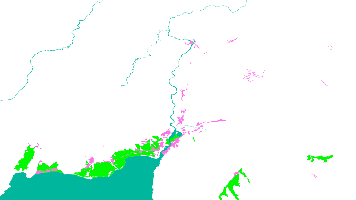
Starting point of the dredging operation. Recorded at 18.00 Central Indonesia Time together with a Ponyilo fisher. In the surrounding area, the riverbed depth is not too deep, but this area is located in the first section of dredging line (0+350 - 4+1000) with a width of 42 meters from the deepest part of the river toward the bank. From this point onward to 4 kilometers, the lake outlet's dredging is carried out with a total volume of 1.000.000 cubic meters, as reported on page 8 of the "Poso River Improvement" ANDAL.
Introduction
This study examines the development of mega hydropower infrastructure in Poso, Central Sulawesi, Indonesia, facilitated by the intervention of the Kalla family oligarchy through large-scale hydrodam projects initiated in 2005. These developments have resulted in significant environmental degradation in the region. The construction of PLTA Poso I (2012), PLTA Poso II (2005), and the dredging of the lake outlet over a 12,8 kilometres stretch from the lake’s outlet toward the river (commenced in 2019) serve as the primary focal points for this spatial investigation.
The study specifically examines how technocratic documents, especially the AMDAL (Environmental Impact Assessments) and ANDAL (Environmental Analysis Report) were utilised by both corporate and state actors to legitimise the expropriation of water/landscape within the Poso hydroecology.
Here, I examine how the absence of the AMDAL (Environmental Impact Assessments) and public consultation constitutes a form of violence, and how community and collective resistance serve as tools for countermapping the abstraction of a living space.
This research highlights local and Indigenous communities’ knowledge and collective memory as a living archive of spatial memory tied to their socioenvironment. By centering community voices and their embodied knowledge of water and landscape, this spatial research acts as a tool for witnessing, testifying to, and reclaiming collective memory of the socioecological destruction caused by Poso’s mega hydropower infrastructure development.
The Case of Water and Land Expropriation by Poso Energy in Central Sulawesi
Countermapping ToolingRead full report hereGlossaryMethodologyMA DissertationThe research, with a main method of counter-impact analysis, begins with the available Environmental Impact Analysis Report (ANDAL) of the riverbed dredging under the 2019 programme “Poso River Improvement,” in which technical framing obscures the socio-ecological violence experienced by communities.
To guide this research, I pose two questions to foreground my understanding of the socio-ecological violence on the process on frontierising the land/water of Poso hydroecologies, that is:
How can the absence of PLTA Poso Energy’s spatial planning documents be understood not merely as a lack of information, but as a form of violence in itself?
And, in the socioecological violence that is rendered invisible by the megahydraulic regime, how might community voices (re)arrange fragments of collective memories of their living space that has been massively but gradually exploited?
This research treats opacity and the absence of documents as evidence of violence and uses missing archives as a starting point of countermapping. Through community testimony and ethnographic groundtruthing, the investigation brings spatial evidence into dialogue with lived experience, by revealing losses, memories, and forms of resistance that official planning records do not register.